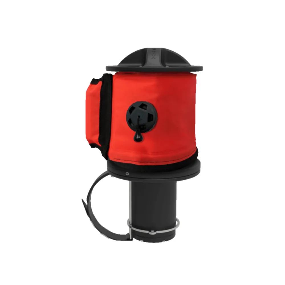
SEIKA revolutionises underwater navigation along with all the devices that form the
DRIVe
DRIVe system. Precision, reliability and accurate positioning are essential for your diving
mission, and with SEIKA, you’ll be able to achieve all your objectives.
THE FUTURE OF EXPLORATION IS
WIRELESS
SEIKA uses an embedded GNSS (Global Navigation Satellite System) receiver within an SMB (Surface Marker Buoy) to capture precise diver position and communicate that position to the Suex
Eron D-1 dashboard.
The GNSS receiver accepts valid satellite positioning signals from global, commercial networks including GPS, GLONASS and GALILEO.
HOW DOES IT WORK?
During or following your dive, deploy the SMB GNSS receiver from the depth permitted. When you do so, the position of the satellite will be captured on the surface and transmitted to your
ERON D1.
Eron D-1.
This will allow you to refix your position, and you will be able to freely continue
towards the next waypoint or return to home.
GNSS (Global Navigation Satellite System) is a system composed of constellations of orbiting space satellites that enable three-dimensional (latitude, longitude and altitude) positioning.
GNSS is a general term that covers a number of different satellite systems, the most important of which are currently the American GPS and the European GALILEO. However, these systems are commonly referred to generally as GPS.
User-friendly and automatic, this system has become extremely widespread in surface navigation, so much so that it is now compulsory equipment in all fields of navigation.